Swiss Company Unveils Drone to Improve Weather Forecasts
Meteomatics has introduced Strato, a reusable multicopter drone that profiles the atmosphere up to 34,000 feet in about 25 minutes, aiming to replace expendable weather balloons and deliver fresher data for forecasts.
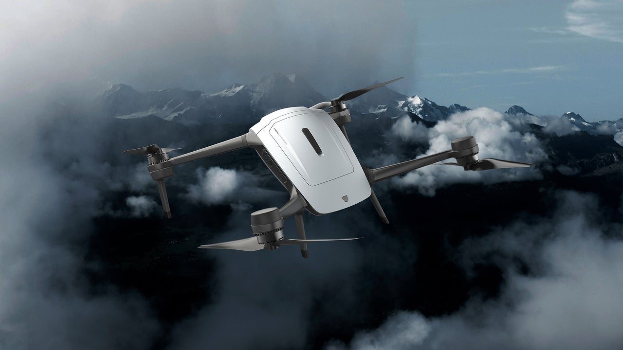
A Swiss weather technology company is betting that a reusable drone can do what weather balloons have done for nearly a century — only faster, cheaper, and without littering the sky with lost sensors. Meteomatics recently introduced Strato, a multicopter designed to climb into the upper troposphere, the layer where most weather occurs, and return to its launch site ready to fly again.
The pitch is straightforward: weather balloons, which carry instrument packages called radiosondes, launch on fixed schedules from fixed bases and take roughly 40 minutes to reach 12 kilometers, or about 39,000 feet. If a storm begins developing between launches, no balloon is up there to observe it. Meteomatics says Strato reaches 34,000 feet in about 25 minutes and completes a full atmospheric profile in roughly half the time of a balloon, according to CEO Martin Fengler.
As the drone climbs, it measures temperature, humidity, pressure, and wind at every altitude, producing what meteorologists call a vertical profile — essentially a core sample of the air overhead. Until now, only radiosondes could collect that kind of data. But the company notes that about 90% of weather balloons are never recovered, and their sensor packages become pollution. Some newer balloon models allow for recovery, but scientists still must drive to retrieve them and refit them for another flight, making continuous operation impractical.
Strato is designed to solve both problems. It returns to its operators’ exact location after each mission, allowing repeated launches whenever conditions warrant. That matters most for the jet stream, the fast-moving river of wind near the top of the troposphere that steers weather systems. Fengler has said that if data is not correctly located relative to the jet stream, forecasts will not be reliable either. Government observation networks do not reliably cover the jet stream’s highest altitudes, the company says, because balloons launch on fixed timetables and no extra balloon is sent up simply because a weather system is approaching. As a result, airlines, military pilots, and launch teams often make decisions using stale or distant data.
Strato’s readings feed Meteomatics’ high-resolution forecast models, along with data from the company’s older, lower-flying drone called Tropo. The goal is more accurate atmospheric readings delivered in a more timely manner.
The technology faces practical hurdles. At 34,000 feet, Strato shares airspace with airliners at cruising altitude. Fengler has acknowledged that there are no automatic, worldwide handshake protocols with air traffic control for drones, so Strato follows whatever rules each country sets. Safety measures include a transponder that puts the drone on controllers’ radar like any other aircraft, advance warnings to pilots to avoid an area, and coordination with local air traffic control. Because requirements vary by country, launch site, and airspace, Meteomatics helps customers handle regulators — in other words, filing lots of paperwork.
The atmosphere itself is another challenge. More than six miles up, the air is so thin that propellers have little to grab onto. Changing blade shapes to account for low air density can cause the drone to drain battery near the ground, where the air is thick, shortening flight time. Fengler says the engineering team tested multiple combinations of propellers and motors, using flight simulation to predict performance as air thinned, then putting the most promising designs into a vacuum chamber and a wind tunnel. The surviving designs keep the drone climbing in thin air without draining power down low, and still have reserve power when wind fights back.
Strato is also built to withstand sustained winds of up to 80 mph, with a body shaped to slice through the air. An automatic wind mode swings its nose into the wind, according to the company. For forecasters, the appeal is a weather instrument that can be flown over and over, wherever and whenever it is needed — a shift in how the sky is watched and predicted.
6